About
Senior data scientist in Canada working on computer vision, geospatial data and MLOps, with team leadership and open-source experience.
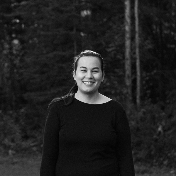 I’m a senior data scientist who has spent the last few years on geospatial data and computer vision problems. I’m also a human, though some call me a data wizard 🧙 or witch. I love working across domains, especially where wildlife, the environment and human health meet. I’ve trained classification and segmentation models for coral reefs, solar panels and rooftops, built a data pipeline that scores tens of millions of places, led a data science team, and served as Editor-in-Chief at pyOpenSci. I live in Canada.
What I bring
- Computer vision on imagery. Detection and segmentation across coral reefs, solar, vehicles, trees and rooftops.
- Research code to production. Converting academic and research code into production ML systems.
- Open source. Core contributor (250+ commits) to MermaidSeg, a coral-reef segmentation platform for conservation monitoring.
Leadership
- Led Sparkgeo’s data science team for four years: a remote team of 2 to 5 direct reports across time zones. More on how I led the team.
- Chaired Sparkgeo’s AI Working Group, and developed Agent Skills based on company standards and team preferences.
- Editor-in-Chief and editor at pyOpenSci. I’ve been an editor since October 2023, helping review open-source scientific Python packages, and served a rotation as Editor-in-Chief from July to September 2025.
- Research interest: how AI is changing software development itself, including cognitive load, writing, perceived productivity and developer feedback.
Selected work
| Title | Description |
|---|---|
| Overture Places signals pipeline | A Spark, Iceberg and Airflow pipeline that scores whether tens of millions of businesses are still operating, for the Overture Maps Foundation. |
| MermaidSeg | Core contributor (250+ commits) to an open-source coral segmentation repo using DINOv3. |
| Coral classification at scale | Image classifiers for coral growth forms and benthic attributes, trained on 500,000+ images with 14M+ annotations. |
No matching items
Publications
- Yee, L. Spatial Modelling and Wildlife Health Surveillance: A case study of White Nose Syndrome in Ontario. MSc thesis, Wilfrid Laurier University, 2018.
- Avian Influenza Risk Surveillance in North America with Online Media. PLOS ONE, November 2016.
- Spatial data issues in geographical zoonoses research. Canadian Geographer / Le Géographe canadien, June 2016.
The full list is on Google Scholar.
Earlier projects
- GrassLander (2016–17). A citizen-science platform for grassland species at risk in Ontario, built with researchers, Esri professionals and OSCIA staff. No longer online; the page links to the press coverage.
- SARFIP interactive map. An R Shiny and Leaflet choropleth of Species at Risk–funded projects in Ontario, with a time slider.
- Ontario Coronavirus Dashboard (2020). An R Shiny dashboard mapping cases by public health unit, built when Ontario had only two public COVID-19 dashboards.
Writing
- “Where are the bats? Spatial complexities with bat occurrences.” A blog post (October 2018) on how proximity to roads biases bat observation data, written for Healthy Wildlife.
In the media
- PolyGone. We’re Eating Plastics From Our Own Dirty Laundry, Vice (September 2017). Coverage of PolyGone’s AquaHacking presentation, including an interview with me as co-founder about microfibre pollution from laundry.
- MSc research. State of Wildlife Health 2018-19, Canadian Wildlife Health Cooperative annual report (PDF, about 22 MB; my work is on page 11). It describes how I adapted species distribution models to reduce spatial bias in white-nose syndrome data for bats in Ontario, and how road access biased wildlife health records.
- GrassLander. Press coverage is on the project page.
Contact
The best way to reach me is email: yeelauren@pm.me. I’m looking for Senior Data Science, ML Engineering and Computer Vision roles, Remote or in Canada.